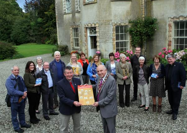
Plantation trail to link ‘Big Houses’ and lure tourists


The Plantation Trail has been created by Foyle Civic Trust with the support of Derry City and Strabane District Council under the Rural Tourism Development Programme, and funding secured from the NGO Challenge Fund.
The Trail covers the rural areas around the city which were planted by the companies of the Goldsmiths, Grocers, Fishmongers and Skinners, including the villages of Eglinton and Claudy, the old churches and graveyards at Enagh and Cumber, and notable large houses dating from Plantation times.
Advertisement
Hide AdAdvertisement
Hide AdSites on the Trail include Enagh Lough (East) and Graveyard, Ashbrook House, Beech Hill House, Cumber Old Church and House, Learmount Castle, Prehen House, Boom Hall Site, and Culmore Fort.
Jennifer O’Donnell, Council’s Rural Tourism Development Officer, said Council was delighted to work in partnership with Foyle Civic Trust to bring the project to fruition, with funding support from NGO Challenge Fund, which is administered by The Northern Ireland Environment Link on behalf of the Northern Ireland Environment Agency (NIEA).
She explained: “The Trail was developed to raise awareness of rural Derry’s Plantation history and to connect the Plantation villages and houses with the historic city and citadel of the Plantation Derry. The development of the Plantation Trail will enable a better understanding of local history and inspire community involvement.
“A map has been created in order to link the sites and inform people about the Plantation sites along the Trail. Interpretive signage has been placed at the sites in order to promote an understanding of the Plantation’s built and landscape heritage.”
Advertisement
Hide AdAdvertisement
Hide AdMelanie Cunningham from Ashbrook House said: “We are very much looking forward to the new signage which we’re hoping will generate additional tourism not only in the city but in the surrounding rural area, especially the stunning Faughan Valley. Anything that puts Derry on the map and helps people discover its built heritage is positive news for everybody.”
Caroline Dickson, the Foyle Civic Trust Committee member responsible for the project with Derry City and Strabane District Council, said: “Foyle Civic Trust has been delighted to be associated with Derry City and Strabane District Council in implementing this project which, with the aid of its Trail Map, will encourage people to explore the surrounding areas of Derry~Londonderry and learn about the heritage of its villages, buildings and old graveyards.”